Climate & Natural Hazard Assessment Platform

Flood & Climate Screening for Canadian Infrastructure

GeoSafe helps users screen flood exposure through interactive maps and decision-support reports.

Canadian
Coverage
Interactive
Mapping
Decision-Support
Reports
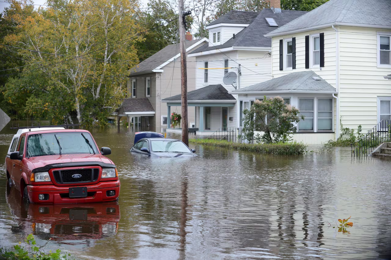
Flooded street in a Canadian residential neighbourhood
Photo: The Canadian Press

Interactive Flood Exposure Mapping

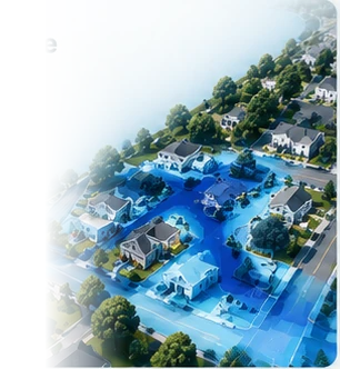
Visualize flood exposure and screening results across Canada

Moderate Exposure
Screening Result
Assessment Complete
12 assets reviewed
Developed and operated by Geomount Inc. | Designed for Canadian municipalities, insurers, and property professionals
Built on research conducted at the University of Waterloo
Our Mission

Supporting Planning and Risk Awareness

Canada faces increasing flood risk driven by aging infrastructure, urban growth, and a changing climate. Yet most organizations still rely on coarse, static flood maps that miss the detail needed for confident decision-making.

GeoSafe was built to close that gap — combining Canadian datasets, geospatial analysis, and decision-support reporting tools, in a platform designed to be usable without advanced GIS experience.

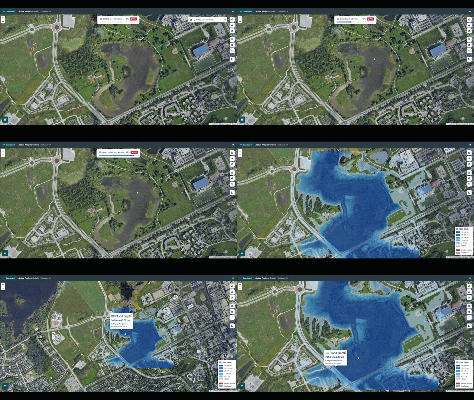
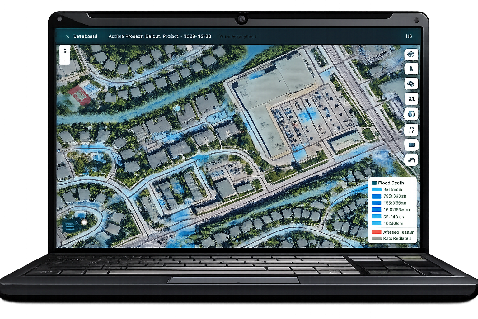
GeoSafe Flood Simulation Preview

Flood and Climate Exposure Screening

Screening tools designed for property owners, municipalities, engineers, insurers, and organizations across Canada

Flood Exposure Analysis

Identify areas that may be susceptible to flooding using terrain, hydrological, and environmental data.

Interactive Risk Mapping

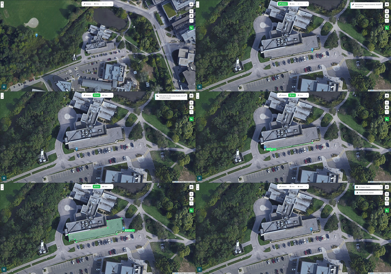
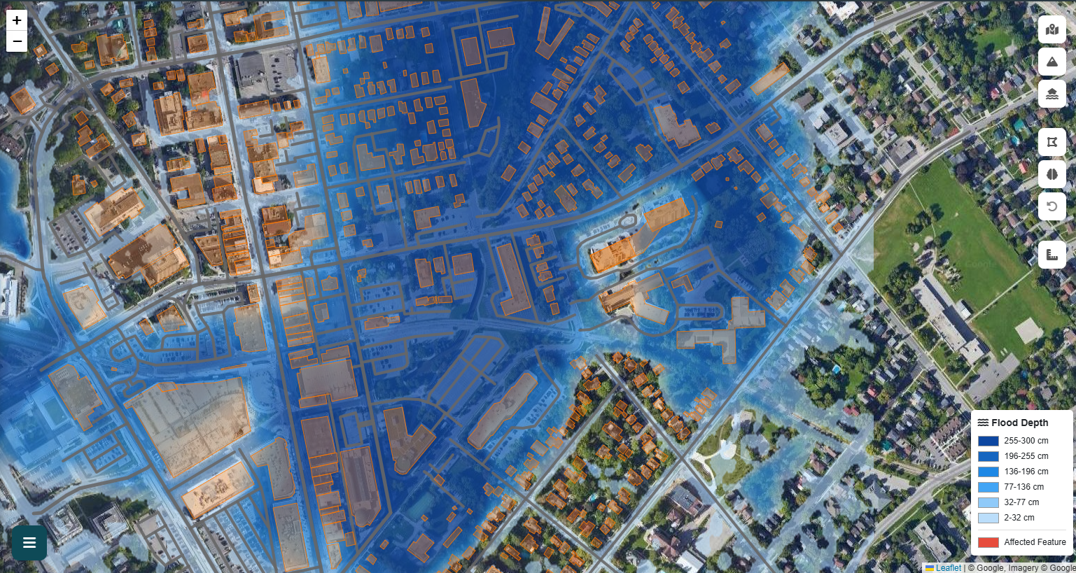
Visualize flood and erosion hazards, depth zones, and key infrastructure on interactive maps with satellite imagery.

Building & Infrastructure Screening

Screen individual buildings and critical infrastructure for potential flood exposure using available elevation and impact data.

Professional Reports

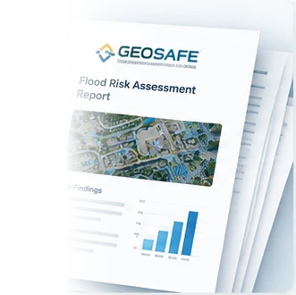
Generate screening reports with maps, key findings, and data sources for planning and decision-making.

Weather and Hazard Context

Incorporate precipitation forecasts, weather alerts, and climate-related information to understand changing risk conditions.

Canadian Data Sources

Access publicly available Canadian datasets including elevation, landcover, waterways, infrastructure, and historical records.

Another way to work

Meet GeoSafe Desktop

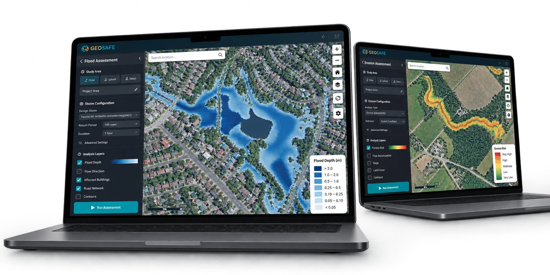
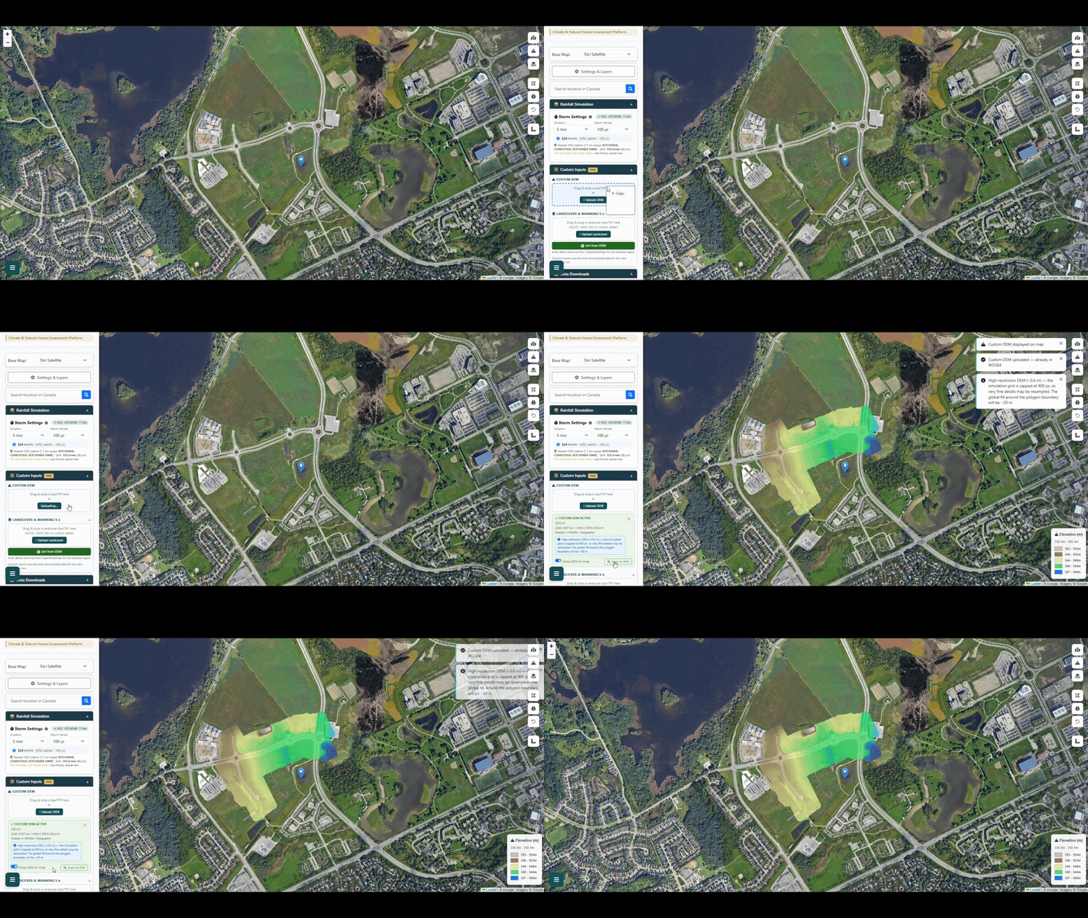
Run flood and erosion assessments on your Windows PC with GeoSafe's local engine. Explore terrain, slope, and flood depth in an interactive map.

Keep control of your data: desktop project files are saved on your own system, not in a browser session. Sign-in uses your GeoSafe account; external maps and data sources may still need an internet connection. Use Windows sign-in and device encryption to protect files on your PC.

Get GeoSafe Desktop on Microsoft Store (opens in a new tab)
GeoSafe Desktop flood assessment and erosion assessment shown on two laptops

How It Works

Get a flood exposure screening in four simple steps

1

Select Location

Search for any Canadian address or draw a polygon around your area of interest

2

Run Assessment

GeoSafe analyzes available terrain, weather, and hazard information for the selected area.

3

Analyze Results

Explore interactive flood maps with depth visualization and building impact assessments

4

Generate Report

Download detailed PDF reports with risk analysis, damage estimates, and risk reduction considerations

Platform Capabilities

See GeoSafe in action

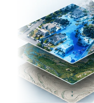
GeoSafe combines terrain, weather, infrastructure, and hazard information to support flood exposure screening and planning.

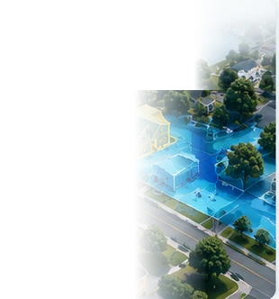
Flood Simulation

Flood Exposure Screening

Terrain, weather, and hazard information combined to support flood screening across Canadian locations.

Terrain data sourced automatically for your study area
Canadian weather and hazard data integrated
Building-level exposure screening for individual structures

Who Benefits from GeoSafe?

Designed for diverse stakeholders in Canadian property risk management

Property Owners

Understand your property's flood risk before purchasing or to inform protection measures.

City Planners

Plan infrastructure and development with comprehensive flood risk data for urban areas.

Insurers & Lenders

Support property exposure review and risk awareness activities.

Engineers

Support site screening, planning, and infrastructure review activities.

GeoSafe in Practice

See how GeoSafe's simulation compares with official regulatory mapping in a real Canadian urban corridor.

GeoSafe Kitchener Flood Simulation
Case Study

GeoSafe + GRCA:
Moving from Awareness to Action

In this Kitchener, Ontario study, GeoSafe's flood exposure assessment was compared with official Grand River Conservation Authority floodplain mapping — showing broad spatial agreement while adding site-level depth interpretation and affected-asset screening.

Kitchener, Ontario Grand River Corridor
Read the Case Study

Explore GeoSafe first.

Request access to GeoSafe Beta.

Request Trial